See millimeters. Warn early.
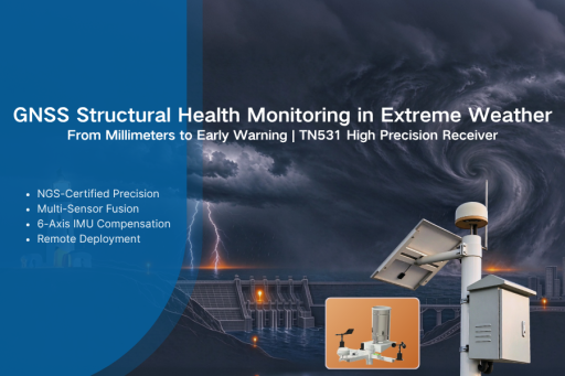
2026 isn’t just another hot year—it’s a year of cascading extremes. Two forces are colliding: decades of global warming have raised the baseline, and a powerful El Niño is amplifying it. Seasonal boundaries are breaking down. By August 2026, the three-month average sea surface temperature anomaly likely exceeded 2.5°C, making this one of the strongest El Niño events on record and likely to continue into early 2027. The pattern is unmistakable: once-in-a-century heatwaves now arrive every few years. Dry regions dry out further. Wet regions flood harder. That is why Bivocom built the TN531: an NGS-certified GNSS receiver for millimeter-level structural monitoring in extreme weather.
What We’re Seeing on the Ground
- Glacial collapse in the Himalayas. A late-August glacier burst on the Nepal-Tibet border triggered floods and mudslides, killing over 1,000 people and leaving nearly 4,500 missing. Scientists describe a shift from slow retreat to sudden, violent collapse.
- Record heat across Europe and Asia. Temperature records fell in Spain, Italy, and India. Heat-related fatalities rose, and power infrastructure faced unprecedented load stress.
- Hyperactive typhoon season. Forecasters expected a season 60% more active than average. Most storms stayed offshore, but their outer bands intensified monsoon rains and severe flooding across the Philippines, South Asia, and Southeast Asia.
- Wildfires and national emergencies. France evacuated more than 220,000 people from wildfires. South Africa declared a national disaster in May as heat, drought, and erratic rainfall compounded risks.
The Hidden Threat
Compound disasters rarely occur in isolation. Sustained rainfall saturates geological strata. Sharp temperature swings accelerate structural fatigue. Fluctuating water levels weaken dams, levees, slopes, and transport assets. The ground moves—millimeters at a time—long before it collapses. Visual inspection can’t see it, yet it is the precursor to nearly every major structural or geologic failure.
Weather forecasts predict storms. They can’t predict which slope, dam, or levee is about to fail. Millimeter-level GNSS monitoring changes the equation—turning invisible geological risk into measurable, actionable early warning.
TN531: NGS-Certified Precision GNSS Receiver
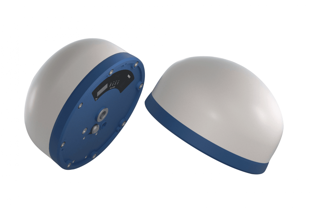
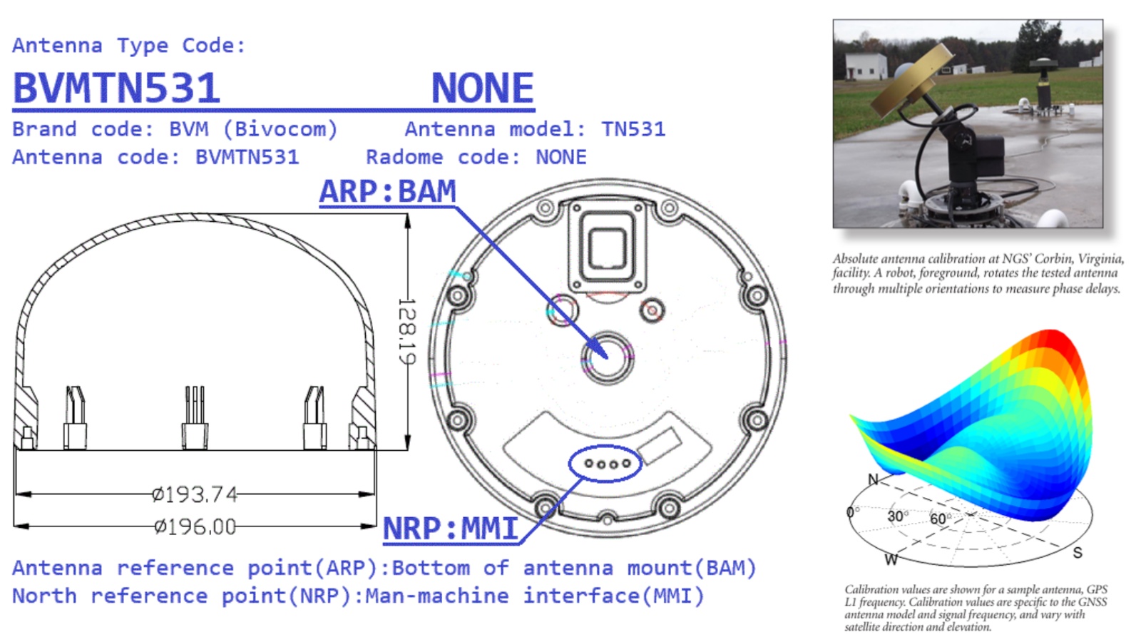
Built for harsh climate-exposed field deployments, the Bivocom TN531 is an industrial integrated GNSS receiver with official NOAA NGS absolute antenna calibration.
Unlike generic GNSS units, TN531 provides calibrated Phase Center Offset (PCO) and Phase Center Variation (PCV) corrections via standard ANTEX / ANTINFO files. This eliminates antenna measurement bias and delivers traceable, audit-ready geodetic data for high-risk disaster monitoring projects. Learn more about the TN531 NGS certification.
- Multi-constellation positioning: GPS, BDS, Galileo, GLONASS, QZSS. More satellites mean better accuracy in challenging environments such as canyons and mountain slopes.
- Millimeter-level precision: Static H 2.5 mm + 1 ppm, V 5 mm + 1 ppm. RTK H 8 mm + 1 ppm, V 15 mm + 1 ppm. <5 s initialization, 20 ns PPS. Detects subtle precursor deformation weeks ahead of collapse.
- 6-axis IMU attitude compensation: 3-axis gyroscope + 3-axis accelerometer, up to 20 Hz, compensating for site vibration, micro-tilt, and wind disturbance.
- Multi-sensor fusion: RS232, RS485, and PI. Connect rain gauges, water-level sensors, soil moisture probes, and crack meters for meteorological-geotechnical monitoring.
- Connectivity and data caching: Built-in global 4G LTE Cat 4. 16 MB local flash supports offline caching and auto retransmission. Hardware watchdog + RTC ensure stable unattended deployment.
- Protocol compatibility: NMEA 0183 V4.1, RTCM3.X, RINEX, MQTT, and Modbus RTU. Easy integration with cloud platforms, SCADA, and third-party IoT systems.
- Ruggedness: IP68, -35°C to +75°C, 15 kV interface ESD protection. Dual flange/pipe-thread mounting fits dams, slopes, bridges, and varied infrastructure.
Signal → Warning: TN531 Monitoring Workflow
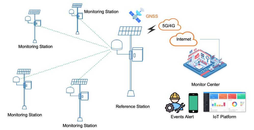
At its core, the TN531 is a high-precision GNSS receiver. Paired with external environmental sensors, it forms a complete meteorological-geotechnical monitoring station for field deployment. Combined with a Bivocom IoT router or gateway, it becomes a smart monitoring station with edge processing, robust data transmission, and intelligent risk analytics for complex remote sites.
System Network Layout
- NGS‑Calibrated Reference Station: Installed on geologically stable bedrock, broadcasts RTK correction data for the whole monitoring network.
- Field Monitoring Stations: TN531 units deployed on risky assets (dams, slopes, bridge piers, levees). Solar‑powered in remote sites, each node connects auxiliary sensors for rainfall, water level, soil moisture and crack deformation. Units continuously capture 3D displacement, tilt and vibration data 24/7.
- Transmission Layer: 4G transmits synchronized multi‑source datasets toward cloud IoT platform. Local flash cache mitigates data loss during storm‑driven network outages.
- Cloud IoT & Monitoring Center: Fuse GNSS displacement, IMU attitude and meteorological sensor data on one unified dashboard. The platform runs coupled multi‑factor early‑warning logic, rather than simple single‑threshold alerts.
- Event Alert Output: Alarm notifications push to operator mobile terminals, supporting post‑incident audit with NGS‑validated RINEX raw observation files.
Engineers gain the missing link between weather forecasts and ground truth. Project managers gain a path from reactive inspection to continuous, evidence-based risk management. Downstream communities see the difference between an evacuation order that arrives in time—and one that arrives too late.
Proven in the Field
This isn’t a theoretical architecture—it’s already protecting infrastructure on the ground.
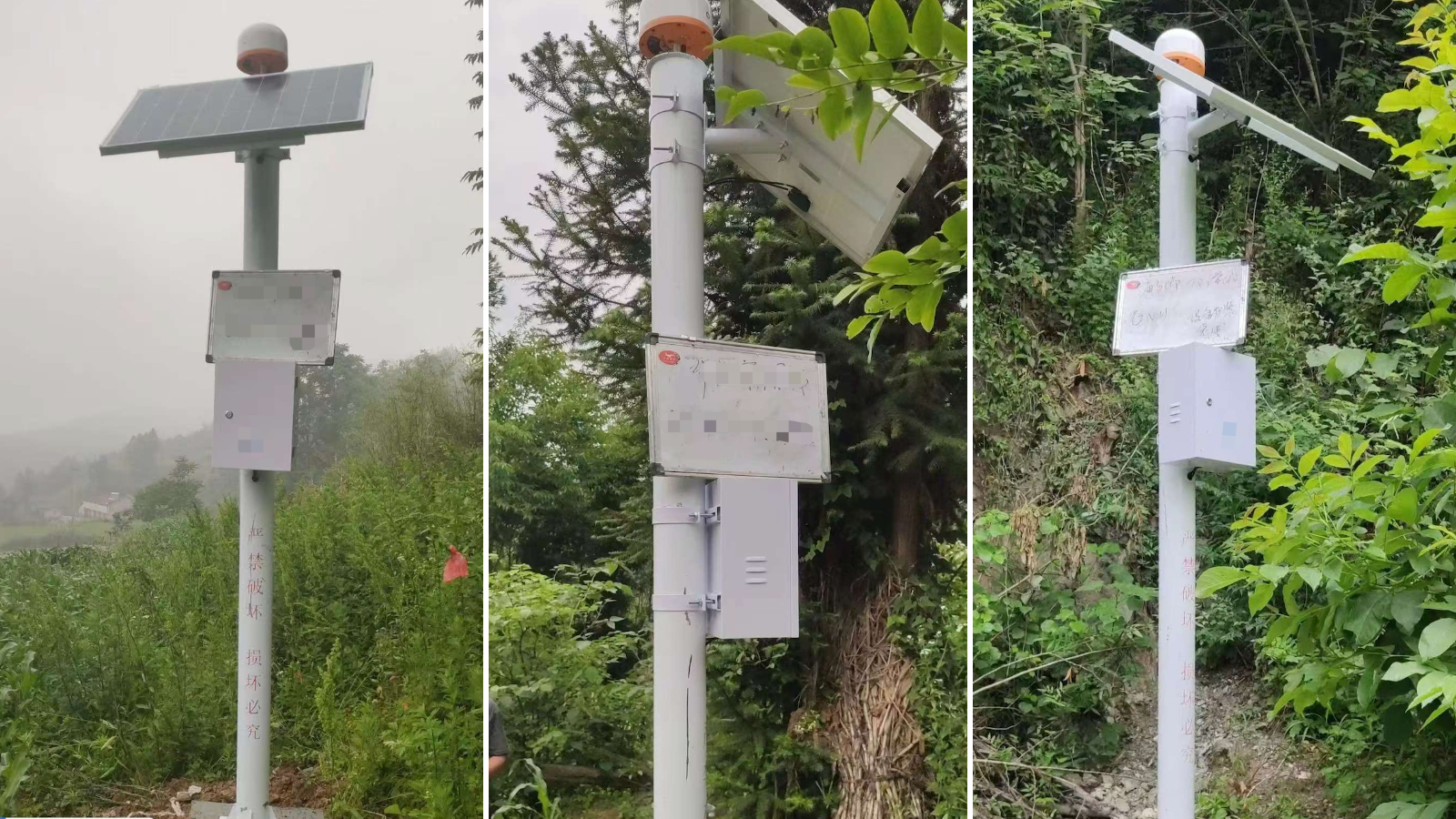
- Slope & Landslide Monitoring: Detects accelerating precursor movement before landslides, enabling early risk alerts for mountain communities and remote critical assets.
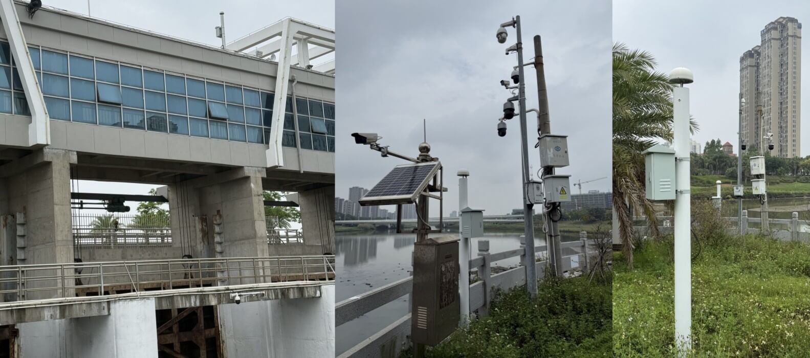
- Coastal Sluice Gates & Dams: Identifies minute structural shifts along exposed coastlines. Triggers automated gate closure and pump activation to mitigate seawater intrusion and reduce manual operations.
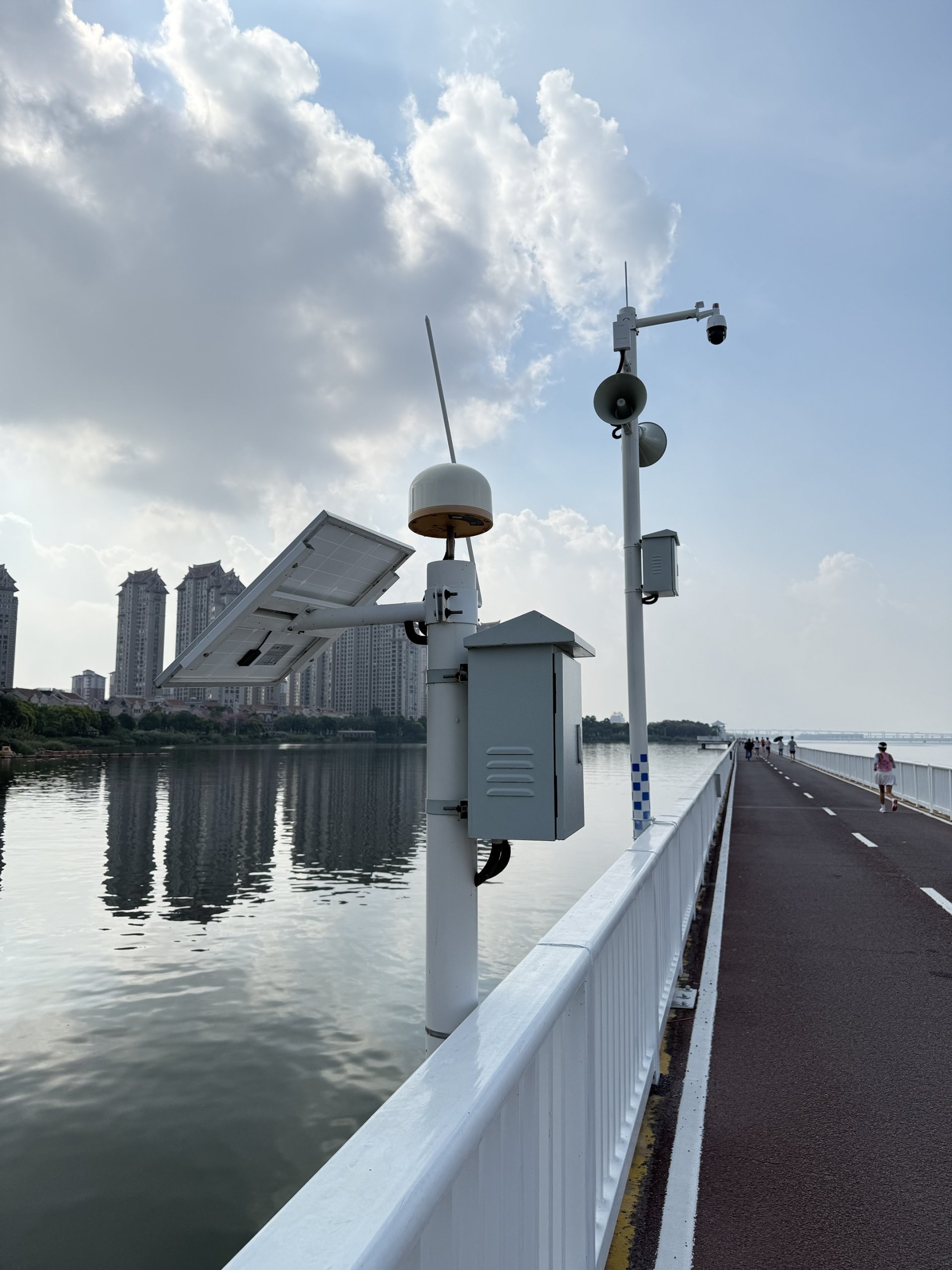
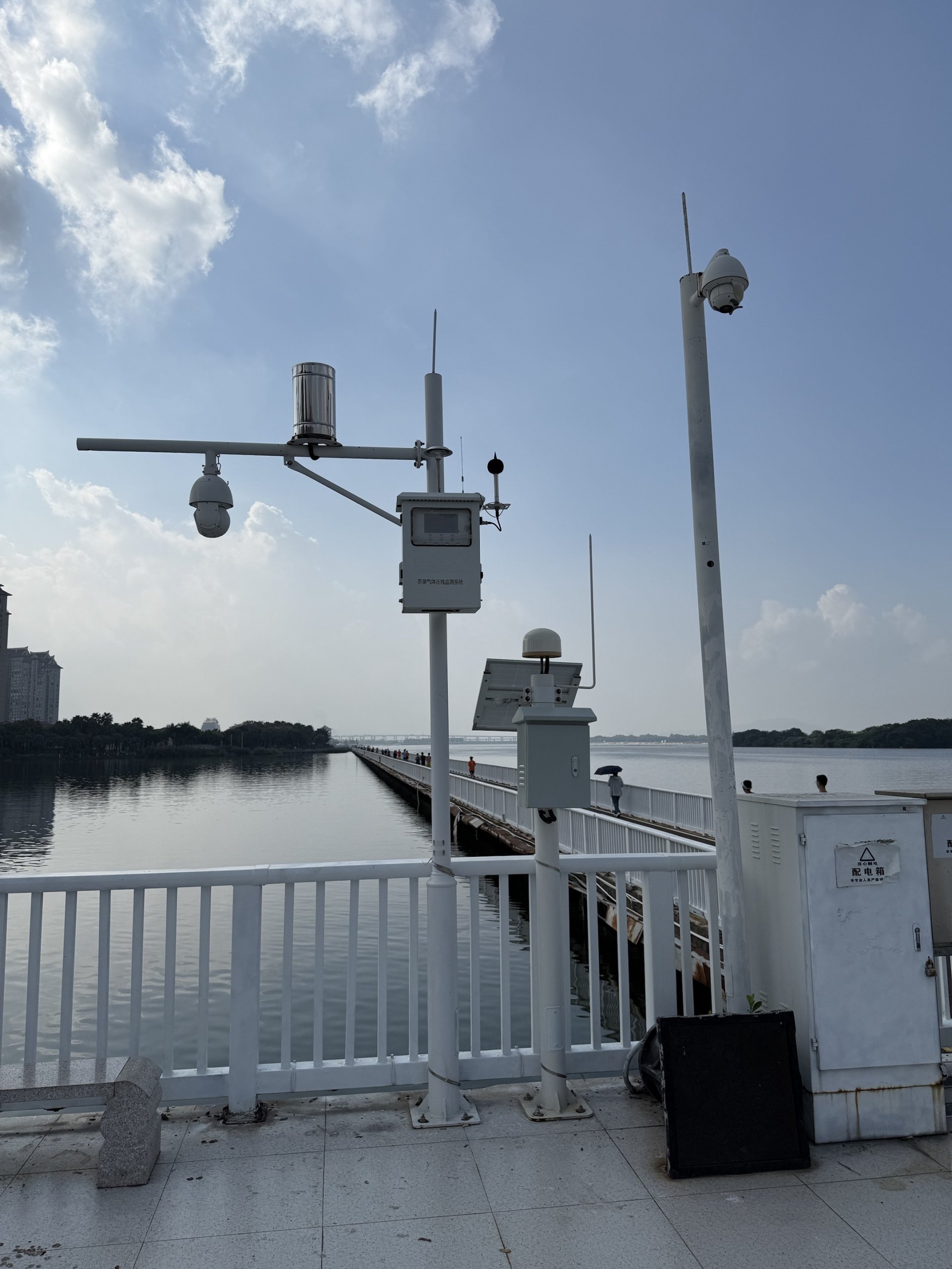
- Bridge & Waterfront Structure Health: Deployed on Xiamen coastal bridge sections to capture structural displacement. The system triggers proactive reinforcement, while collecting rain and wind data for typhoon early warning.
- Railway Infrastructure: Delivers 24/7 high-precision stability monitoring for crossings and track structures. IMU compensation isolates normal rail vibration from hazardous settlement, supporting condition-based maintenance instead of scheduled-only inspections.
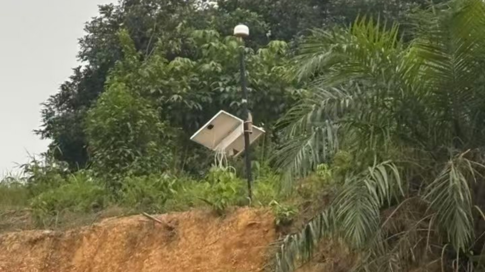
- Volcanic Debris & Cold Lahar Monitoring: Tracks unstable debris movement on high-risk volcanic slopes. Fuses GNSS displacement with rainfall and soil moisture data to extend warning windows before secondary geohazards occur.
TN531 deployment is NGS-certified—so the data these networks produce is metrologically traceable, audit-ready, and accepted as evidence in high-stakes engineering decisions. One playbook, proven across sectors: calibrated precision, rugged hardware, and coupled early-warning logic—turning millimeter movement into early action.

About Bivocom
As this article has shown, cascading climate extremes demand more than forecasts—they demand ground truth. Bivocom builds industrial IoT hardware and platforms for critical infrastructure, energy, agriculture, and smart cities. Our portfolio spans GNSS/LoRa/5G routers, gateways, RTUs, IoT platforms, scenario-specific sensors, and OEM/ODM customization—engineered for the field, not the lab. From remote slopes to coastal dams, we help operators turn environmental data into earlier, more confident decisions.
- Open Ecosystem & Protocol Compatibility. Our hardware and IoT platform support standard industrial protocols and mainstream third-party IoT platforms, enabling seamless integration without vendor lock-in.
- End-to-End Partnership. We provide full lifecycle services spanning solution design, system integration, field deployment and continuous maintenance.
- OEM/ODM Flexibility OEM/ODM. Customizable hardware and firmware are available to meet unique project requirements while preserving system reliability.
Ready to build climate-resilient monitoring for your critical assets?
Contact Bivocom today at [email protected]. Detect subtle structural movements before hazards escalate. Technology can buy time—but protecting our shared planet still takes all of us.
-on-Bivocom-TG465-IoT-Edge-AI-Gateway-with-Ubuntu-768x512.png "Install Ollama & Llama (LLM, large language model)) on Bivocom TG465 IoT Edge AI Gateway with Ubuntu")

Comment